


Our ambition is to enable you to increase the performance of your infrastructures; to contribute to a better control of risks, to strengthen the environmental quality of the management of your infrastructures and to advance your work projects in a predictable way.
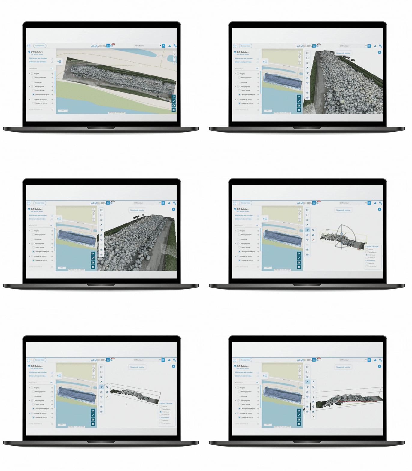
We have therefore developed a suite of software that allows a better knowledge of infrastructures through:
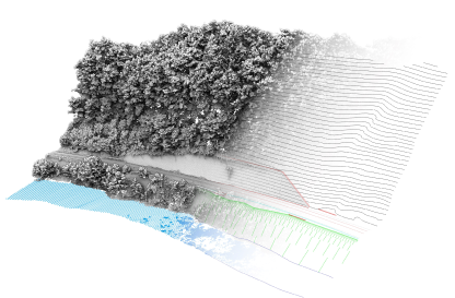
automation of large-scale LiDAR 3D data processing
the detection of geometric, thermal and vegetable defects
classification of elements in the point cloud
data visualization via a web page
Find out more
From the very beginning, we established ourselves as pioneers in the civil operation of the drone for industrial maintenance purposes.
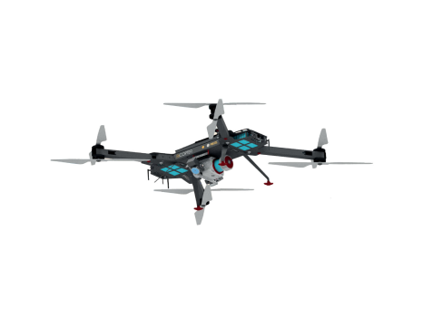
We have notably been at the heart of the development of our aircraft drone, the DT26 with the manufacturer DELAIR and actively participated in the regulatory work with the Directorate General of Civil Aviation (DGAC) for the introduction of this drone on the market.
Today, the state-of-the-art drone is still one of our flagship vectors for agile data capture, but it’s not the only one.
Finally, regardless of the means used, our objective has always been to provide qualitative and actionable information for infrastructure managers.
Find out more
As a subsidiary of a large railway group, we have developed a specialized expertise in the deliverables expected for rail topography.
Topographical plans, orthophotos, digital terrain models… We collect and compile large volumes of data to provide infrastructure managers with the actionable knowledge needed to optimize maintenance.
Find out more
Lorem Ipsum
Sed ut perspiciatis unde omnis iste natus error sit voluptatem accusantium doloremque laudantium, totam rem aperiam, eaque ipsa quae ab illo inventore veritatis et quasi architecto beatae vitae dicta sunt explicabo. Nemo enim ipsam voluptatem quia voluptas sit aspernatur aut odit aut fugit.
Voir notre flotte de drones
Our performance is proven and approved by our clients and partners:


.png)
.png)

Altametris - subsidiary of SNCF Réseau - creates, exploits and enhances digital heritage of all infrastructrures to secure and optimize their performance, while respecting industrial fundamentals. Altametris offers consulting and, support Services, a turnkey Solutions catalogue, and an online sofware Suite.
© Altametris - 2024