Contact us!

[Page created in 2024 for translation of original content]
In the series of articles labeled 'R&D,' we invite you to delve deeper into the research projects in which we participate with other companies. In this article, discover the Space Data Market Place research project.
The challenge surrounding the use of spatial data
What if spatial images could be used to predict and prevent floods or tree falls that disrupt railway traffic? Well, that's the challenge Altametris has decided to tackle as part of the Space Data Marketplace project, the creation of a marketplace for spatial data.
The Space Data Marketplace project aims to facilitate access to spatial data and create value for the entire space industry in France, Europe, and internationally, through use cases addressing societal challenges. This ambitious program is supported by the France Relance plan and CNES.
Altametris' objective
AltamAltametris is a member of the Research Consortium comprised of companies such as Dawex, Airbus Defence and Space, Dassault Systèmes, Thales Alenia Space, Geoflex, VisioTerra, namR, Murmuration, and Occitanie Data.
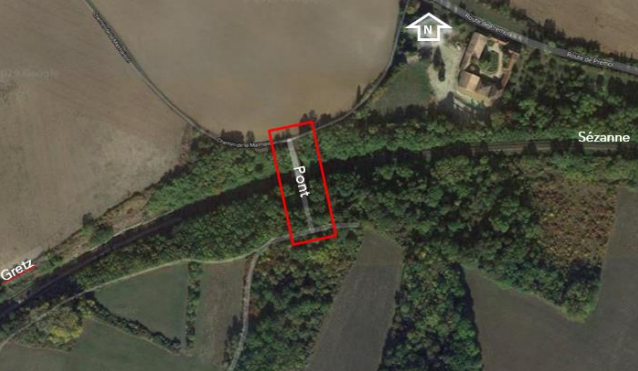
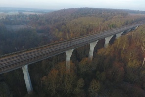
To ensure the security and sustainability of railway installations against flooding, SNCF Réseau conducts detailed hydrological studies. However, regular monitoring is necessary to always ensure the proper dimensioning of hydraulic networks and to implement potential adjustments if the initial constraints and conditions are no longer met.
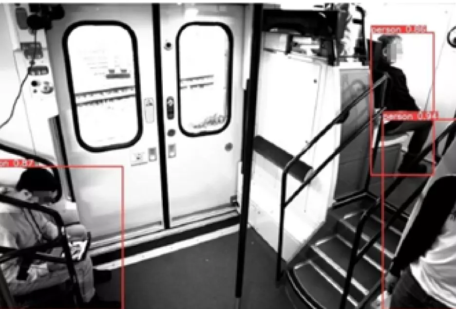
Additionally, vegetation regularly impacts the availability of the railway system and the safety of operations (fires, tree falls, etc.).
The techniques, technologies, and methods deployed
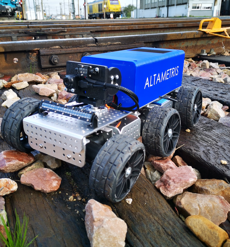
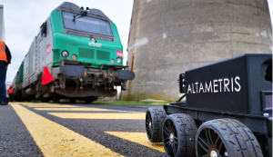
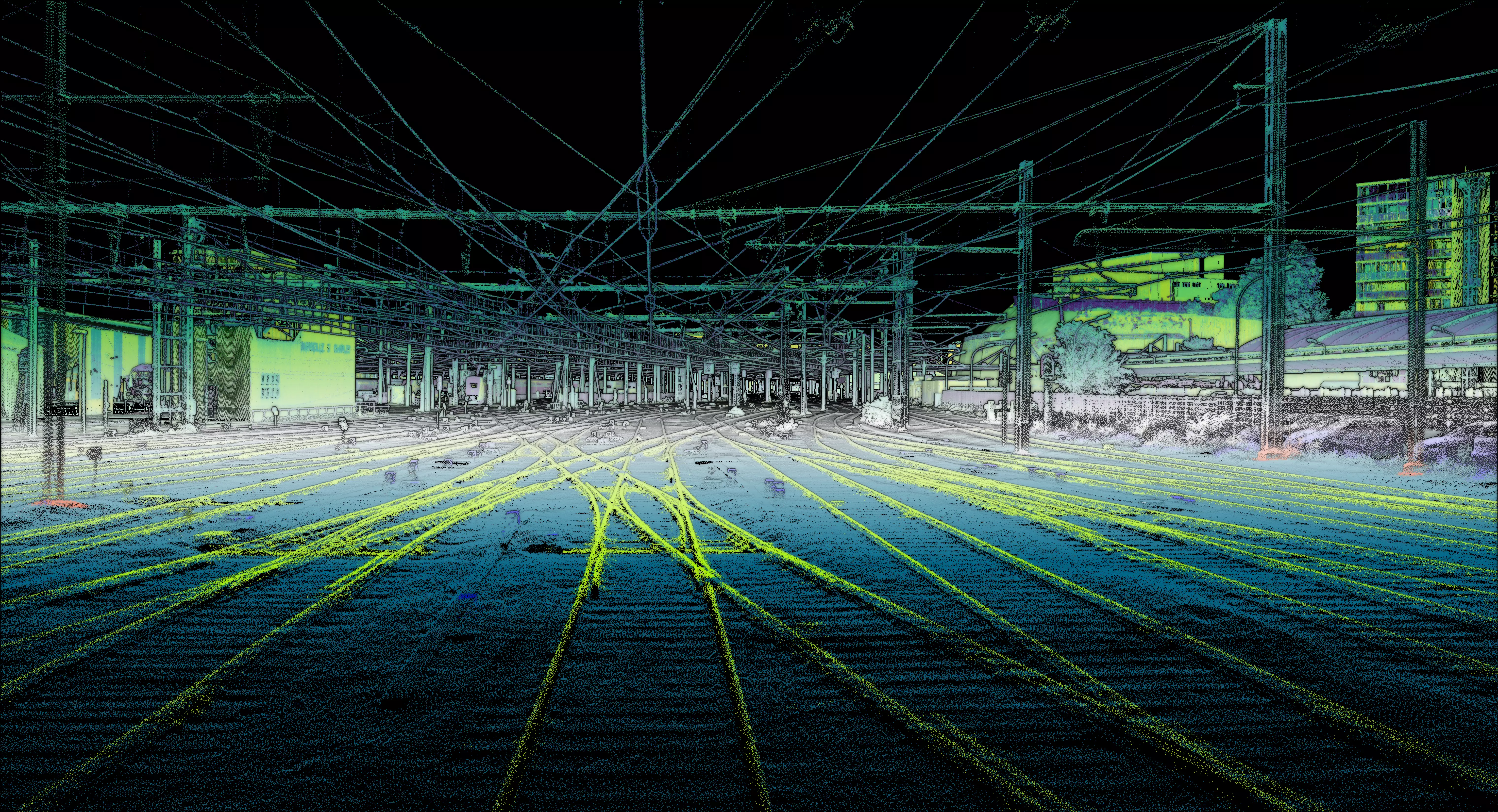
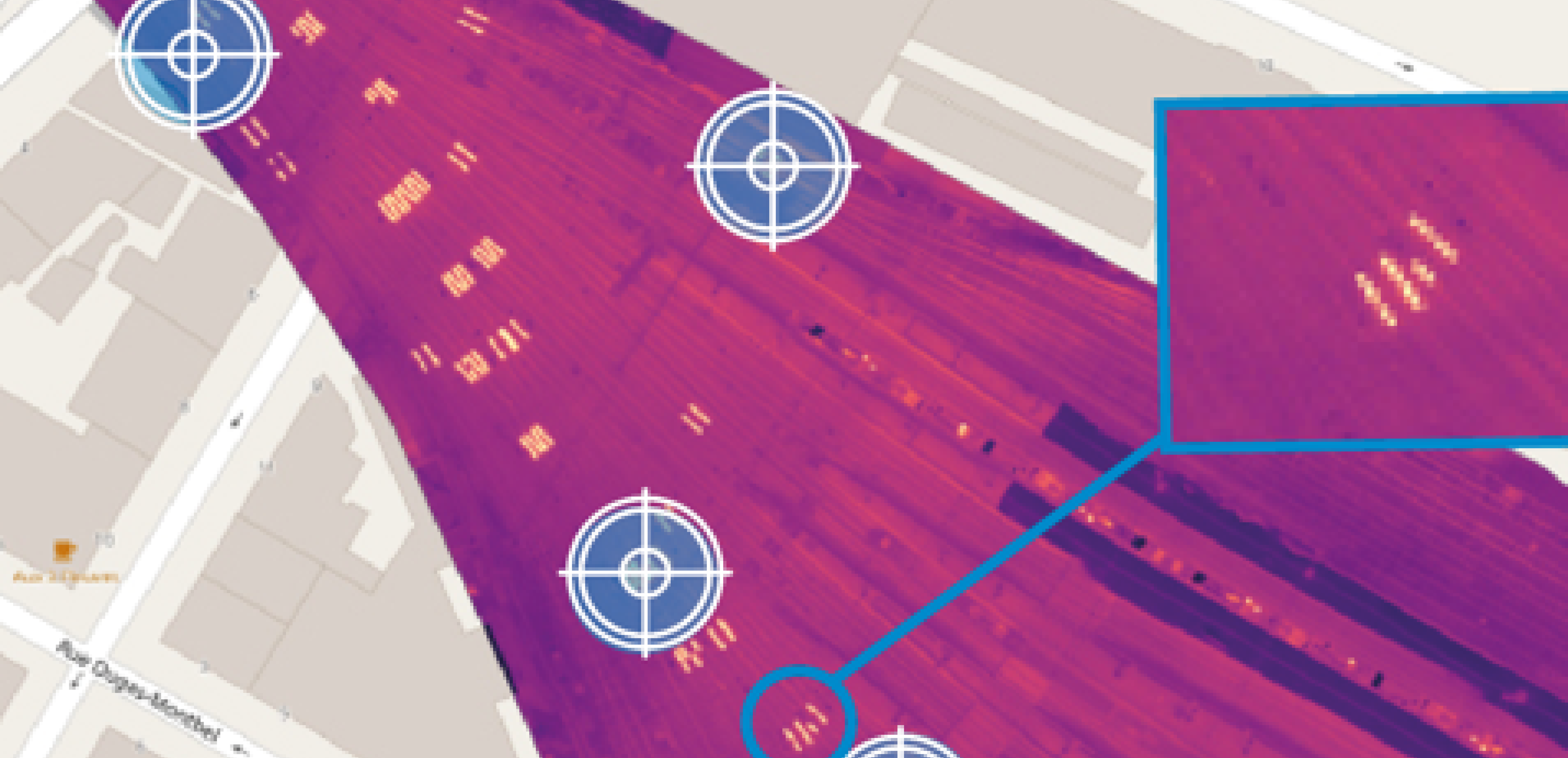
Thus, Altametris is developing satellite image analysis models for these two use cases, which have a significant impact on railway network maintenance for the SNCF group: vegetation cover monitoring and trackside surveillance, with a focus on changes in land occupancy that may affect the stability of installations and their resistance to weather events.
Results and Development Perspectives
Our solutions rely on innovative artificial intelligence methods that we apply to identify changes in land occupancy and detect vegetation cover evolution through the combination of multi-source data (satellite as well as terrestrial data).
Did you find this article interesting? Would you like to learn more about this project? Are you interested in being supported in creating your industrial digital twin?