Contact us!

[Page created in 2024 for translation of original content]
In the series of articles labeled "R&D," we invite you to delve deeper into the research projects we're involved in with other companies. In this article, discover the DINASI research project:
Drone for Inspection and Assisted Digitization for Infrastructure Surveillance.
The Challenge around Infrastructure Inspection and Digitization
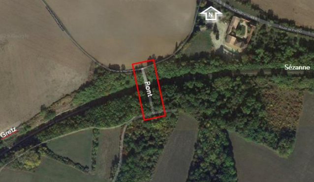
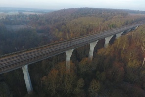
The implementation of infrastructure inspection operations, especially the mandatory surveillance of bridges, requires numerous steps today. These steps include mission preparation (scheduling security personnel, choosing the least impactful time for the infrastructure, prevention plan), booking technical resources, deployment (negative nacelle, rope access technicians, etc.), traffic (potential) stoppage, mission execution, and demobilization of equipment and personnel.
These steps are burdensome, tedious, and costly and do not allow for quick intervention. Additionally, mobilizing technical resources can sometimes be unnecessary when no defects are detected on the structure (and therefore no maintenance intervention is needed).
However, there is increasing technical and regulatory pressure on infrastructure managers who must continue to ensure a high level of safety and availability of these structures. Thus, deploying innovative, non-intrusive, and non-capacitive inspection solutions becomes essential.
Objective of Altametris
Altametris is committed with ONERA and DRONEVOLT, a French professional drone manufacturer, in a research and development program named DINASI whose ambition is to modify the approach of drone usage for infrastructure inspection.
The techniques, technologies, and methods deployed
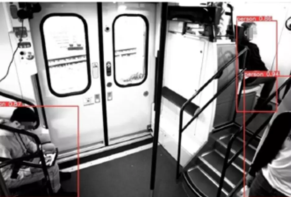
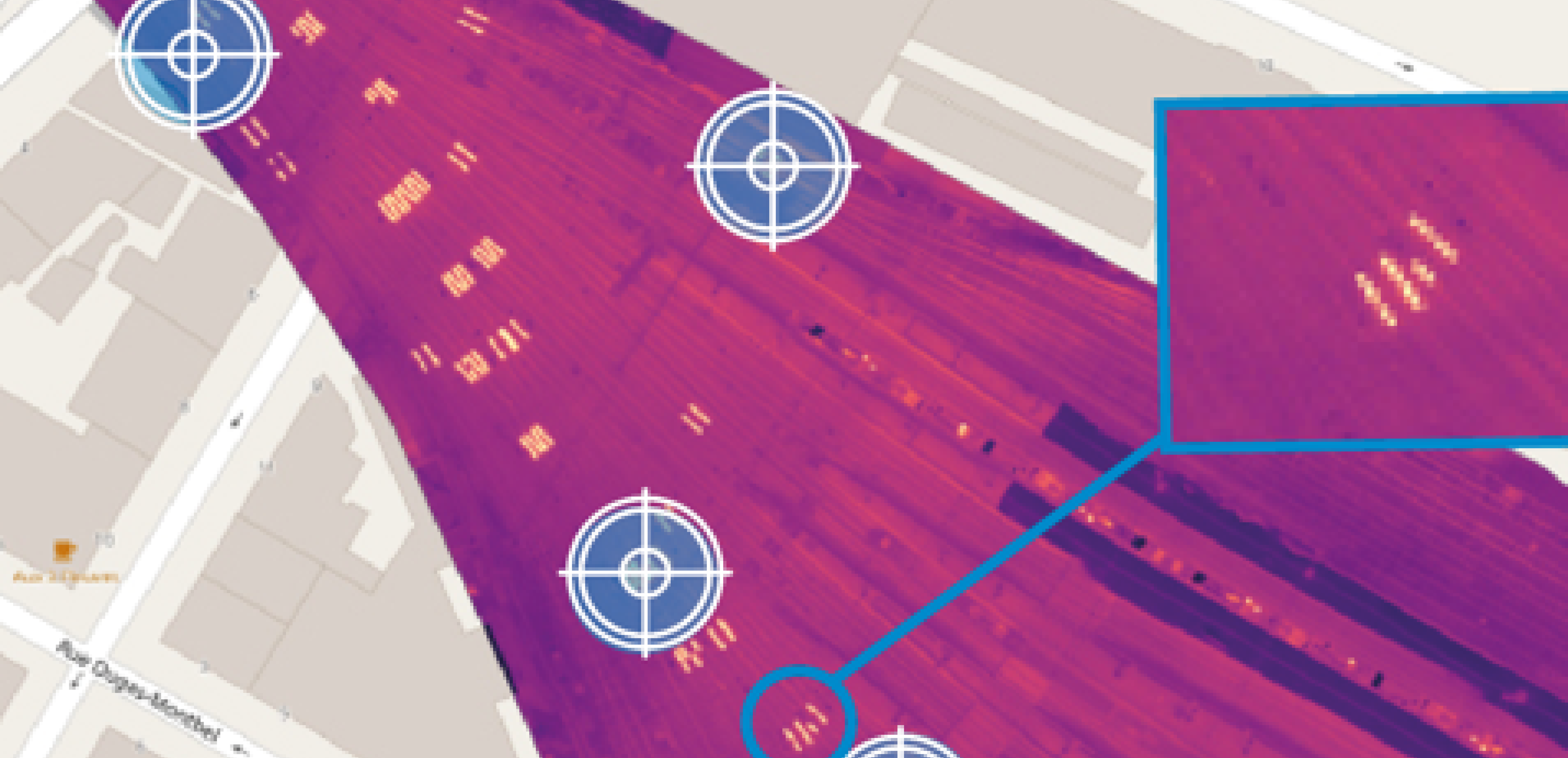
The partnership is developing an operational solution equipped with flight intelligence, allowing a non-expert operator to safely tele-operate a semi-autonomous mini-drone within a predefined space to collect information provided by an onboard payload (visual or thermal camera).
From deployment by experienced but non-specialist drone pilots to deployment by industry experts capable of conducting real-time initial diagnostics of infrastructure, the tele-piloting function becomes secondary. This enhances the value of personnel skills and enables optimized decision-making for safety.
The results and development outlook
The complementary expertise of these three stakeholders in the drone industry will provide specialized drone operators in infrastructure and network surveillance with an efficient and self-learning decision-making tool for visualization and provision of inspection results.
Did you find this article interesting? Would you like to learn more about this project? Are you interested in being supported in creating your industrial digital twin?