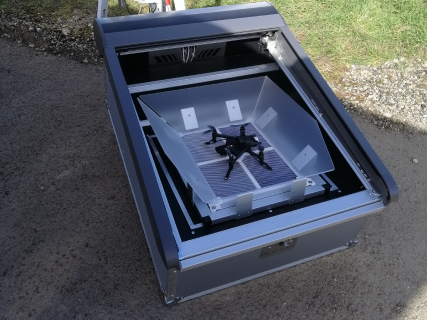
The Ricopter drone for the creation of mapping and topographical deliverables
To acquire mapping and topographical data and for measurements under vegetation, we generally deploy a Riegl RiCOPTER drone equipped with a VUX-1UAV LiDAR sensor specially developed to ensure the acquisition of very high density aerial LiDAR point clouds.
This drone, with a maximum take-off weight of around 25 kg and a range of around 30 minutes, is equipped with the LiDAR VUX-1 UAV measurement system.
Its range allows it to be operated in complete safety within the framework of scenario S1, according to French regulations.
In particular, it is equipped with a RIEGL VYX-1UAV LIDAR sensor combined with a high-precision Applanix AP20 GNSS/inertial navigation system (centimetre-level relative accuracy).
This combination comprises the best features of any LiDAR system that can be integrated into mini-drones today.
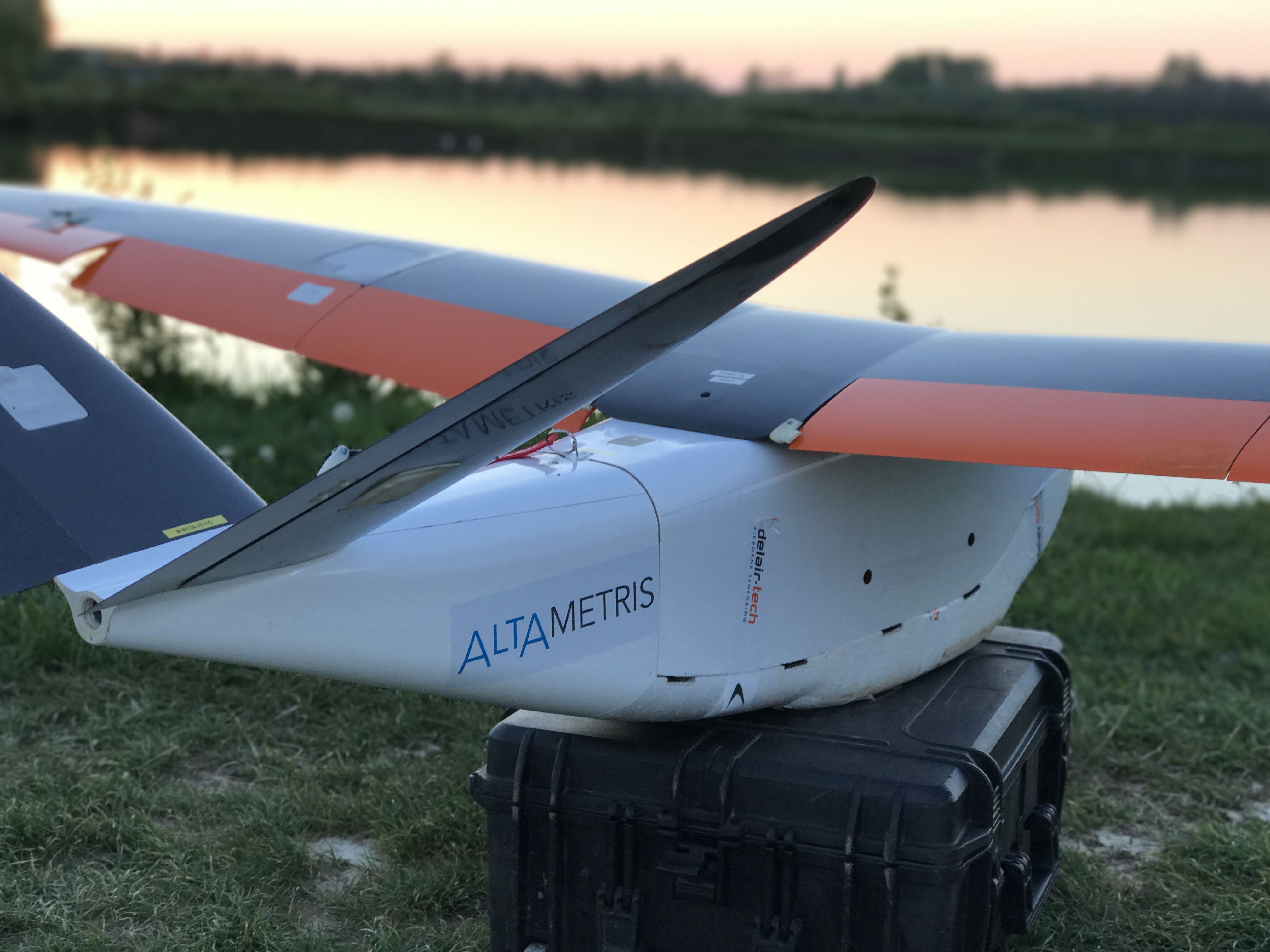
The Delair DT26 UAV for long-range surveillance
In support of a team on the ground, this UAV covers large areas to answer questions or to monitor a situation. It has a range of several hours in flight and can cover a linear distance of more than 15 km.
In particular, it allows the detection of suspicious activity and the suspected presence of:
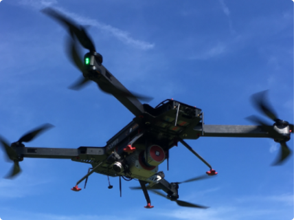
The M210 for thermal inspections
This robust and stable drone allows thermal inspections to be carried out in hostile environments. It is resistant to wind up to 35km/h thanks to its 17" propellers, as well as sub-zero temperatures thanks to its IP43 rating.
Above all, it has high-performance thermal sensors that are ideally suited to detecting temperature differences down to the degree.
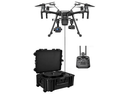
Wired drone for single site surveillance
Thanks to its power cable, this tethered drone improves the security of a single site by remaining in the air for several hours.
This means that it can remain in the air for as long as the weather permits. It is possible to keep a dedicated site secure for a whole night, especially in urban areas.
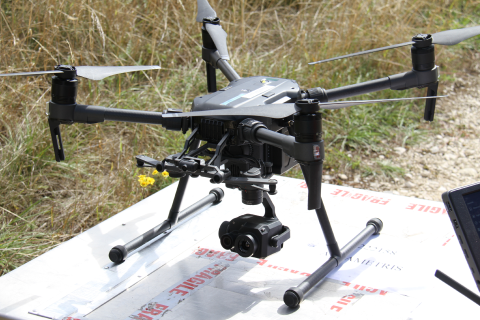
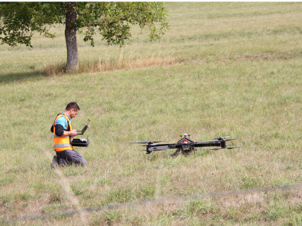
The autonomous drone for regular and agile site inspections
The solution to regular rounds for remote, hard-to-reach, large or strategic locations.
A state-of-the-art solution that combines responsiveness and autonomy.
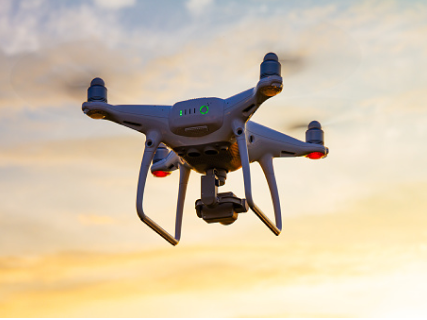
The DJI Phantom 4 for image production
To produce orthophotographs or 360° panoramas of sites, and depending on the precision required, we carry out surveys with a DJI Phantom 4 Pro drone, equipped with a 20 MPx camera (Figure 4).
This drone, which weighs under 2 kg, is suitable for urban flights under regulatory scenario S3 (flight with a range of 100 m and a maximum altitude of 150 m), subject to a declaration to the Prefecture.

Create
data collection tools tailored to your needs

Delegate
the collection of you data to our experts

Ensure
your data collection autonomously with a drone
.png)


 Contact us!
